What’s the route?/How do you know where you’re going???
Absolutely one of the most common questions we get is about the route we will be on..and hopefully stay on, and how we find and, again, stay on the route.
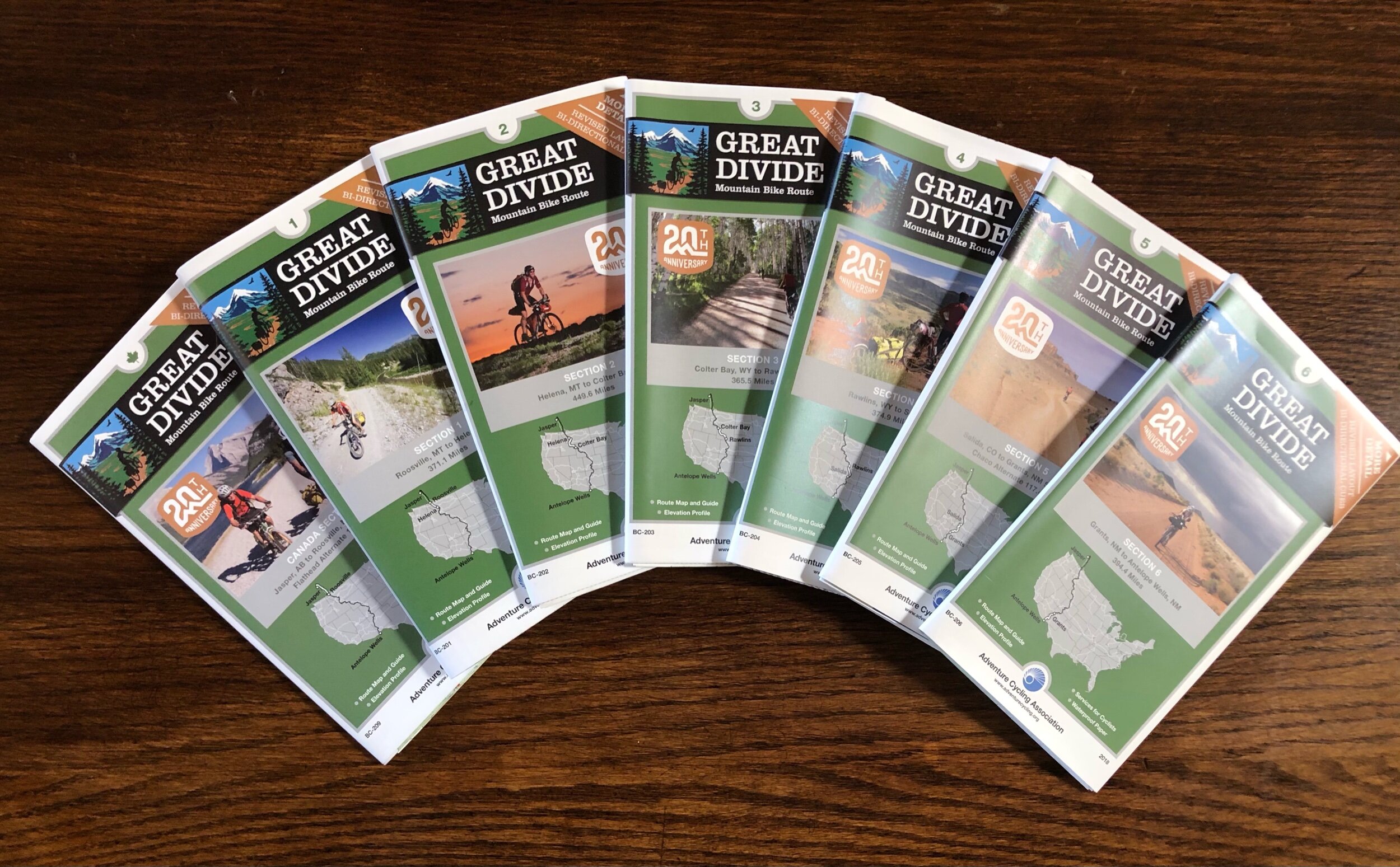
As described in other parts of this website, the route for the Tour Divide (TD) generally follows the Great Divide Mountain Bike Route (GDMBR) as documented by the Adventure Cycling Association (ACA) which can be located online at https://www.adventurecycling.org/) . The ACA has, and continues to produce a tremendous set of maps, not only for the GDMBR in this case, but for many other iconic cycling routes throughout the United States and Canada. For the GDMBR, it is a set of 7 maps, as seen below.
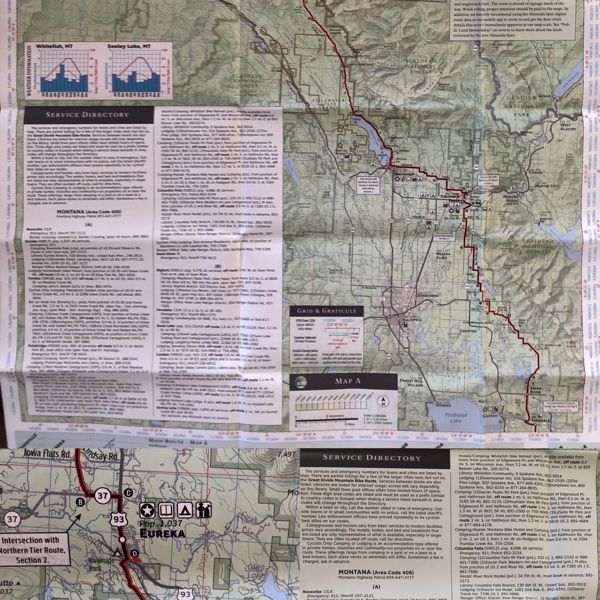
Each one of these maps contains an incredible amount of information about not just the route, but about the alternate paths to take, sites along the route, elevation profiles of the route, weather information for the year, logistical needs (camping, lodging, water sources, grocery stores, medical facilities, post offices, etc.). A composite example of this type of information is shown below.
ACA Map Example
Now, as I said, the TD route ROUGHLY follows the GDMBR, however, due to changing conditions year-to-year (Snow closing passes, avalanche damage, fires, road/trail construction, etc.) the actual route is not released until about 10 days prior to the race by event director Matthew Lee (A TD finisher featured in the film “Ride the Divide”). Additionally, there MAY be real-time changes to the route that Matt will send out even after the start of the race. As a result, it is imperative that you have some sort of real-time, up-to-date, ability to know where you are and where you are going, in the absence of the paper maps or cellular coverage. So…in addition to the paper maps (Which we will each absolutely bring), we are also carrying a suite of electronics to assist us in navigating the often remote locations the route takes us on. My suite of devices is shown below.
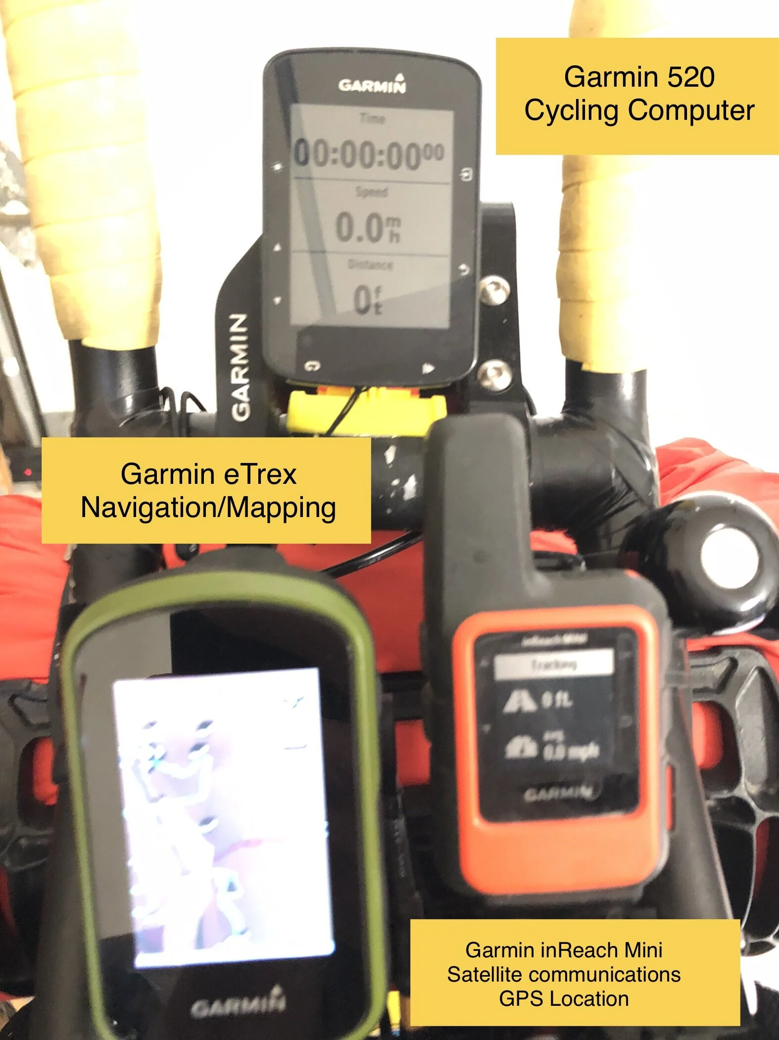
Shane’s Electronics and Navigation set-up is shown here.
Each of the devices has a separate and distinct purpose, though many have some similar functions.
The Garmin 520 (top) is primarily used for keeping track of heartrate, distance traveled, and time (Of Day and Ride Time)
The Garmin eTrex is used almost exclusively for mapping. A GPX (GPS exchange format) file of the TD route is loaded onto the device and the intended route is shown on the screen (Though there are a ton of other functions on the unit). This shows our position relative to the intended route so we can see where we are, and where we are “supposed” to be going.
Finally there is the Garmin inReach device. This is essentially a GPS tracking device that also has some satellite communicaition capability. This allows us to share our location with the race organizers, and race trackers (Our position can be followed using our GPS location on their website) at http://trackleaders.com/.
Additionally, the inReach allows us to communicate using preloaded, and real-time text messaging, particularly useful for staying safe and in touch when out of cellular phone coverage (about 50-70% of the route).
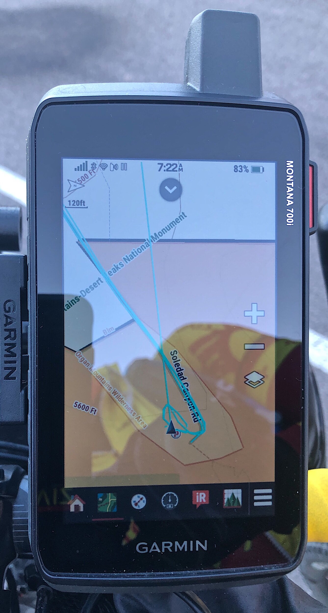
Ray will be using similar capabilities, though two of his Garmin devices (namly my inReach and eTrex) are combined into a single unit, the Garmin Montana 700 Series of devices.
Additionally he is using a cycling computer, the Garmin 830 (I believe). He is using this in the same manner I am using the Garmin 520.
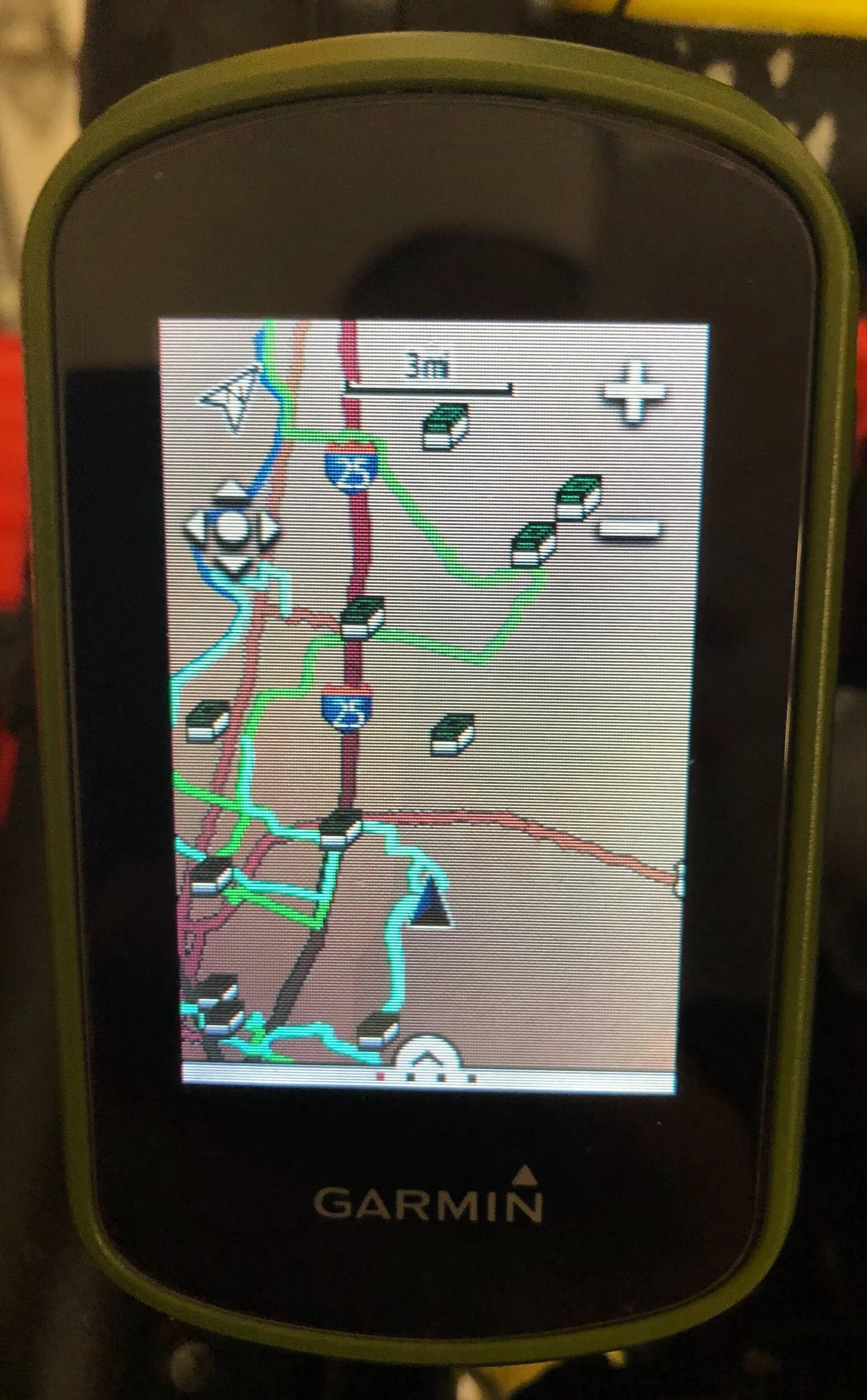
Garmin eTrex
This photo shows two preloaded Tracks (GPX Files). One is Green, the other Light Blue. Rays Montana has a very similar, but much bigger, display of our route.
Ray’s Garmin Montana 700 Series
Everything but the kitchen sink!!
Finally, as a third back-up, I am using an application on my Phone. This app is called Gaia GPS.
Gaia allows you to download maps (terrain data, roads, satellite images, land use, etc.) and the identical GPX file used on the Garmin. This can be loaded onto and displayed on the screen. For reference, the entire TD route from 2019 is shown on the screen below. One thing nice about both the Garmin devices and the Gaia App is that the maps and routes can be downloaded prior to losing cell or broadband coverage. This allows you to navigate without any coverage whatsoever.
GAIA GPS Phone Application
Now, one might ask why we need triple redundant navigation? …simple, WE DON’T WANT TO GET LOST IN THE MIDDLE OF NOWHERE!! Staying on course and on schedule for our finish is critical to our success. This hard copy, electronic, and satellite “Maps” or “Charts” give each of us the ability to know where we are, where we’ve been, and where we are going in our endeavor to successfully finish the Tour Divide.
Thanks for following along!
Ride On!
Shane and Ray
0600 meet up with Ray
