Going Loop-de-loop, in a Monumental Way!
Some rides simply cannot be described, they have to be experienced. But we’ll get to trying to paint the picture of the northern part of the Monumental Loop in a bit.
The week of 22 March was a bit of a mixed bag. Ray and I rode to the top of Soledad Canyon a couple of mornings, but work for both of us was hectic and our schedules didn’t mesh well, so we kind did our own things for a lot of the week. Such is the way of training for the Tour Divide. You have to be dedicated (or crazy enough) to basically throw caution to the wind, and get in all the training you can, whenever you can.
That brings us to the weekend!!
Now, there are a bunch of different training routes and rides that we do that provide stress for our minds and bodies, and every one of these are good preparation for the Tour Divide. They force us to not only accept that our bodies and minds will either adapt to the stresses or fail, but they also help us break through barriers we didn’t quite know we had.
SIDENOTE: There are many times that Ray and I start out on a training ride with different goals and different time schedules. As a result, we may or may not ride the exact same route (as could be seen from our Silver City ride a few weeks ago). We’re on the journey together, but sometimes by necessity, take different paths.
The Monumental Loop has long been on our minds as a great training route for the Tour Divide. If you don’t know what the Monumental Loop is, I suggest you check out Bikepacking.com at https://bikepacking.com/routes/monumental-loop/ for a description. The route is the brain child of our friends Matt Mason and Pablo Lopez. I could go into a long description of the amount of work that went into (and continues to go into) creating such a route, but Matt’s words on Bikepacking say it better than I ever could attempt to. Evidence of the work continuing is the modifications recently done to the route, now called Monumental Loop 2.0. Matt tells me it’s a more rider friendly version of the original route. With friends like ML 2.0, I’m not sure I need an enemy! (JK!!)
This weekend we were joined by our friend, and super tough rider Phil Simpson, also from Las Cruces. We agreed to meet at a fairly central location, the Little Toad Brewery in downtown Las Cruces. The sad part is that we met at 0530 so the brewery was, unfortunately, not open and prepared for our arrival!! So it was from there that we began our ML 2.0 ride.
The forecast called for “light winds” from the north, peaking midafternoon at around 15mph. Now, anybody from Las Cruces will tell you that 15mph winds are just a tiny breeze compared to what can pop up in Southern NM in the spring. The forecast also showed nothing in the way of precipitation.
As we left the Toad, and started through dark and largely abandoned city street, we chit chatted about how long we thought the ride, estimated at about 115 miles would take. We figured a total of 12 hours or so. As we turned north on the Triviz bike path, we caught our third, and almost always present riding partner of the day, a breeze out of the north. Nothing to worry about……
As we made our way north towards the Dona Ana mountain bike trails, the river levees and county roads we would be on for the next couple of hours, the “breeze” started to pick up to the point that made riding in the ever-present sand just a little bit uncomfortable and requiring of more effort than we would have first thought.
It took us about 3 hours to ride the first 35 miles or so. Not a great pace, but pretty representative of the types of paces we normally ride on our fully loaded Salsa Cutthroats (Phil has the same Cutty as I do).
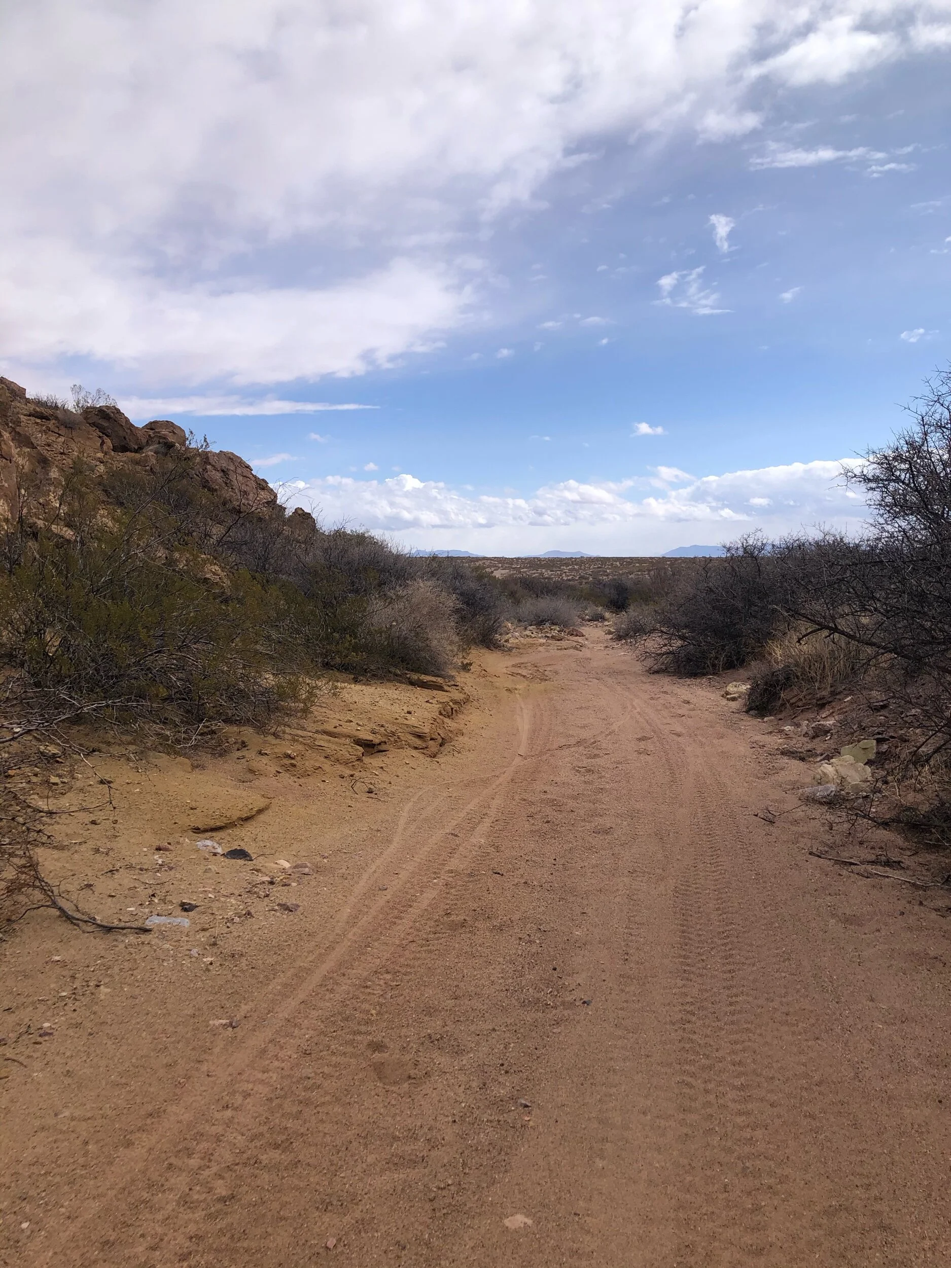
After a bit more “gravel” road (actually a sand pit of about 7 miles in length), we approached our first major obstacle of the day. The ML 2.0 takes riders up and over Tonuco Mountain, just west of the Border Patrol checkpoint north of Las Cruces on I-25.
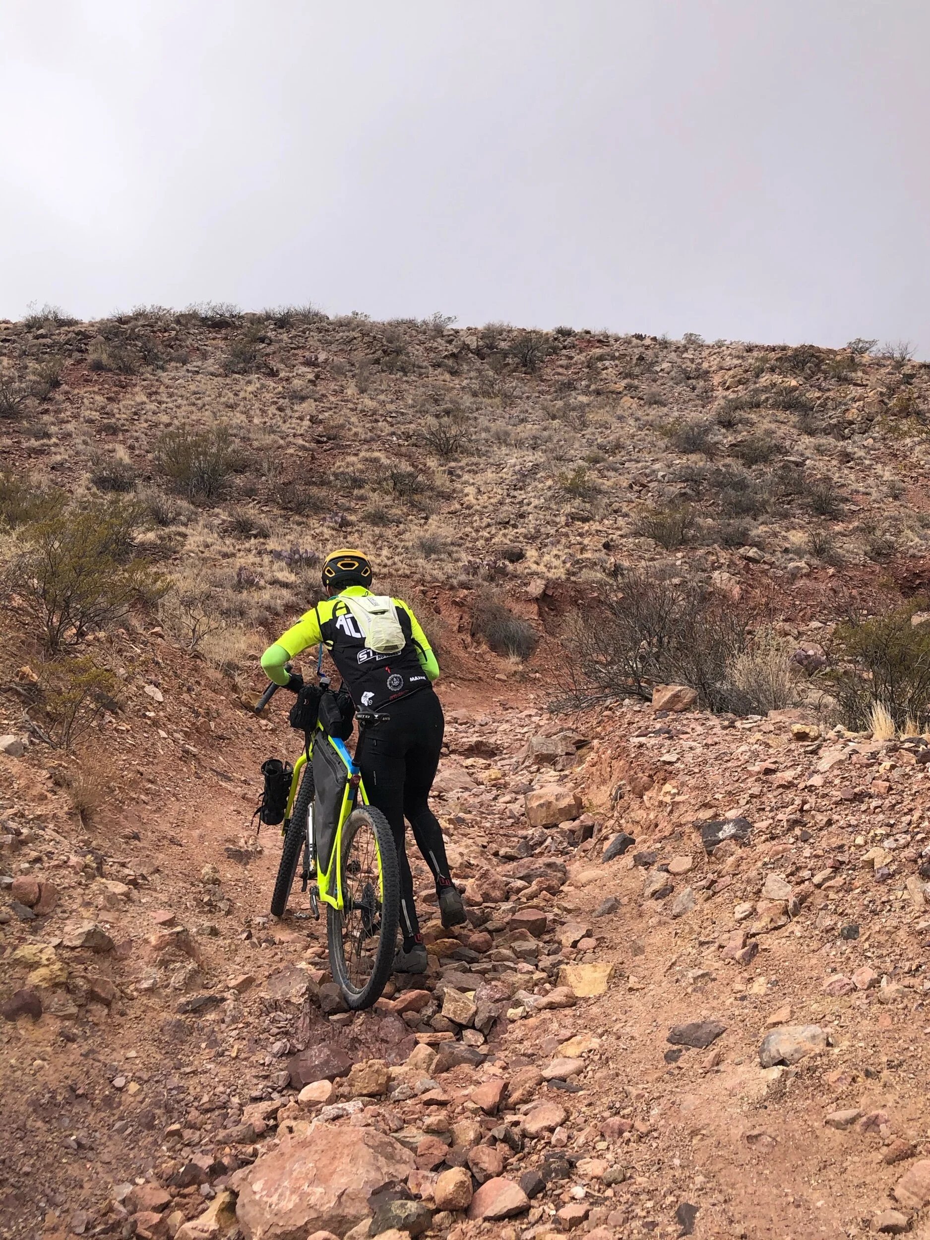
Here is where things got more “interesting”. The ride, and associated hiking over Tonuco, is spectacular in scenery and gives anyone who ventures there a glimpse into the mining history of the area, with huge pits and cracks in the earth.
There is a strange relationship between the type of biking the ML demands, with very technical climbing and even more challenging descending, and the awesome vistas and remote country it affords those willing to put in the effort. It is all worth it, though it can be daunting at the time.
At any rate, the short (couple of miles maybe??) trip over Tonuco took about 45 minutes to an hour and deposited us through a sandy wash to the Gio Grande River levee. About another hour of riding into what had turned into a substantial headwind saw us arrive in Hatch, NM, almost 6 hours after we had left the Toad, and 60 or so miles into our ride. Additionally, the winds had brought on and off again rain in the area, dropping temperature, though not to a too uncomfortable level.
Hatch was a decision point. Ray, Phil and I were sitting, wolfing down a Subway sandwich, when up rolls another cyclist riding a Cutthroat. This is where we met Kyle Richardson from Boulder, CO. It turns out that Kyle had left Las Cruces not long after we did, on an attempt to ride part (and then camp) or all of the ML 2.0. (Kyle’s picture is also in the “Folks” section of this website). After some discussion about the remaining course, our time schedules, and the wind, Ray decided his best course of action was to ride solo back to Las Cruces with Phil and I continuing on with what we estimated would be another 5 hours to finish the ML 2.0 route (HA!!!). Additionally, we picked up a newfound riding partner in Kyle, who wanted to continue on with us! So it was that about 2PM we started off in our own ways.
Now, I don’t want this blog to turn into an even longer literary tome, so I’ll shorten this up a bit.
Our estimate 2-hour ride to White Gap on the western edge of the ML2.0, winding through rough volcanic rock-strewn road, across ranches, past old rock houses and windmills, and finally up the ride-hike-ride-repeat cross cut to the pass took over three hours, always threatened by rain and harsh winds. Luckily all three of us were enjoying the spectacular remoteness and incredible views of the Uvas mountains where the ML 2.0 is routed.
Now 5 o’ clock, with a LONG way to go, we took the opportunity to let our SOs know that we were doing well and that it MIGHT take us a bit longer to get home that originally estimated. Strangely, you have incredible cell reception in the middle of nowhere when you are standing at a vista where you can see for 100 miles!
After a “sketchy”, rock strewn, hike-ride-hike-ride-repeat (see a trend here?) descent, and with one final not to bad climb to the gate at Blue Mesa, we hit the easiest and fastest part of the loop. The descent from Blue Mesa includes a final drop where, with fully loaded bikes, we approached 50mph, after riding the brakes much of the way down.
About 10 miles down the road, with the sun starting its final hour, Kyle decided to part ways with us, as we took the most direct route to LC. He decided to stay on a section of the loop with parallels the road we were on, and ultimately spend the night out on the route. It was a true pleasure to meet and speak with Kyle and I hope we get to ride again someday!
Phil and I were soon back on the road, and trying to use the last bit of light to get back to LC. After a quick hour through the ranch roads west of LC, and a sandy drop towards Picacho peak, now in the dark, we arrived back in Las Cruces after 15+ hours and 120 Miles of the most monumental ride one might do, at least to the north of Las Cruces. The southern portion of the Monumental Loop 2.0 will have to wait for another day.
All and all, it was a great day and one not soon forgotten. Thanks to Matt and Pablo for their brain child, and thanks to Ray, Phil, and Kyle for a great day training for...The Tour Divide.
Ride on!
Shane and Ray


